INSPIRE Polygons: How to See Registered Land Boundaries for Free
Before you make an offer on a plot, you need to know exactly what you're buying. The good news is that you can view the approximate boundaries of registered land in England and Wales completely free of charge using INSPIRE Index Polygons.
This guide explains what INSPIRE polygons are, how to access them, and what they can (and cannot) tell you about land boundaries.
What Are INSPIRE Index Polygons?
INSPIRE Index Polygons are digital map outlines showing the approximate boundaries of registered land titles in England and Wales. The Land Registry provides this data free of charge under the INSPIRE Directive, a European Union initiative that the UK has maintained after Brexit.
Each polygon represents a single registered title. When you view them on a map, you can see:
- The general location and shape of registered land parcels
- Title numbers for each property or plot
- How land ownership is divided in a particular area
- Which plots are registered (unregistered land won't appear)
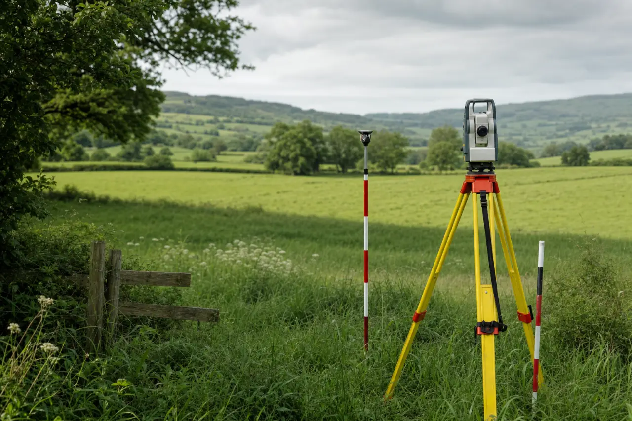
The polygons show boundaries to an accuracy of within two metres. This is sufficient for identifying land and conducting initial research, but not for determining precise boundary lines.
Why INSPIRE Polygons Matter for Land Buyers
When you're considering buying land, INSPIRE polygons help you:
Identify ownership patterns. You can see how land in your target area is divided and spot potential opportunities. A large agricultural field might comprise several separate titles, each owned by different parties.
Find title numbers. Once you know a title number, you can order official documents from the Land Registry for £7 each. These documents contain ownership details, price paid information, and any restrictions or covenants.
Check registration status. If no polygon appears for a plot, the land may be unregistered. This is increasingly rare in 2026, but still occurs with some agricultural land and woodland that hasn't changed hands in decades.
Plan your search. Before viewing land or contacting agents, you can research the area thoroughly and understand the local land market.
How to Access INSPIRE Polygons: Step by Step
The Land Registry provides free access through its official map service. Here's how to use it:
Method 1: Land Registry Map Search
- Visit the Land Registry's Find a Property service at landregistry.gov.uk
- Navigate to the map search tool
- Enter a postcode, address, or place name to locate your area of interest
- Zoom into the map using your mouse wheel or the plus/minus buttons
- Click on any polygon to reveal the title number
- Note down title numbers for any plots you want to investigate
The polygons appear as blue outlines overlaid on an Ordnance Survey map. Registered land shows clearly, while gaps in the polygon coverage indicate unregistered land or land exempt from registration.
Method 2: Download the Full Dataset
For researchers, developers, or anyone analysing larger areas, you can download the complete INSPIRE polygon dataset:
- Visit the Land Registry's data download page
- Select INSPIRE Index Polygons from the available datasets
- Download the file (available in GML, CSV, or shape file formats)
- Import into GIS software such as QGIS (free) or ArcGIS
This approach suits professionals who need to analyse multiple areas or integrate Land Registry data with other mapping layers.
What INSPIRE Polygons Tell You
When you view an INSPIRE polygon, you learn:
The title number. This unique identifier (such as DN123456) allows you to order official title documents. The title register contains the legal owner's name and address, purchase price (for sales since 2000), and any mortgages, restrictions, or rights of way affecting the land.
Approximate boundaries. The polygon shows where the Land Registry believes the boundaries lie, based on filed plans. These match the title plan you'll receive when ordering documents.
Registration date. While not shown directly on the polygon, once you have the title number, the register will show when the land was first registered and the date of the last transaction.
What INSPIRE Polygons Don't Tell You
Understand the limitations:
Exact boundary positions. The polygons are approximate. They typically fall within two metres of the actual boundary, but for precise measurements, you need a surveyor. When buying land, never rely on INSPIRE polygons to determine exactly where your boundary runs.
Boundary disputes. The polygons won't reveal if neighbours disagree about where boundaries lie. Official title plans are also produced on an Ordnance Survey base map and don't determine exact boundaries. In England and Wales, the Land Registry operates on a 'general boundaries' principle.
Unregistered land. Approximately 15% of land in England and Wales remains unregistered in 2026. This is typically land that hasn't been sold since compulsory registration was introduced in stages from 1990 onwards. If you're looking at agricultural land or woodland, absence of a polygon might indicate unregistered ownership.
Planning restrictions. INSPIRE polygons show ownership, not planning designations. A plot might have residential planning permission, be in a conservation area, or sit in the green belt. You need to check with the local planning authority.
Access rights. The polygon shows title boundaries but doesn't indicate whether the land has legal access. A landlocked plot with no right of way is essentially worthless, yet it will still appear on the INSPIRE map.
Using INSPIRE Data for Land Research
Here's how to incorporate INSPIRE polygons into your land buying research:
Stage 1: Initial Search
Browse areas you're interested in on the Land Registry map. Look for:
- Plot sizes that match your requirements
- Patterns of ownership (institutional landowners often hold multiple adjacent titles)
- Gaps in registration that might indicate long-term family ownership
If you're researching land by location, you might want to browse land opportunities by county to understand regional variations in availability and pricing.
Stage 2: Title Investigation
Once you've identified promising plots:
- Note all relevant title numbers
- Order title registers and plans from the Land Registry (£7 each)
- Review ownership details and any restrictions
- Check the stated purchase price from previous sales
The title register reveals covenants, easements, and charges that might affect your plans. A covenant restricting development to agricultural use, for example, will seriously impact value.
Stage 3: Cross-Reference with Planning
Visit the local authority's planning portal and:
- Search for the plot using its address or approximate location
- Review any previous planning applications
- Check the local plan and designations
- Identify the plot's use class and any Article 4 directions
This free research can save you thousands. Many buyers commission professional valuations only after completing these basic checks.
Regional Differences Across the UK
INSPIRE polygons cover England and Wales only. Scotland and Northern Ireland operate different systems:
Scotland: The Registers of Scotland provides ScotLIS, a similar free mapping service showing registered land boundaries. Scottish land registration operates under different legislation (Land Registration (Scotland) Act 2012) but the principles are comparable.
Northern Ireland: Land Registry Northern Ireland offers a paid search service. Free boundary viewing isn't available, though you can order title maps for specific properties.
If you're comparing opportunities across different regions, factor in these access differences. English and Welsh buyers benefit from comprehensive free data that isn't matched elsewhere in the UK.
Common Mistakes When Using INSPIRE Polygons
Avoid these errors:
Treating polygons as exact boundaries. They're not. The general boundaries rule means even the official title plan doesn't fix exact boundary lines. If precise boundaries matter (perhaps you're planning a building right up to the edge), instruct a chartered surveyor.
Assuming missing polygons mean available land. Absence of a polygon might mean unregistered land, Crown land, or simply a mapping error. Always verify ownership before approaching landowners.
Overlooking title register details. The polygon shows you where to look, but the title register contains the crucial information. A plot might look perfect on the map but have restrictions that make it unsuitable for your purposes.
Ignoring neighbouring titles. Always check surrounding polygons. Your plot might have rights of way benefiting neighbours, or neighbouring land might have rights over your plot.
INSPIRE Polygons and Land Value
Understanding how land is divided helps you assess value. Consider:
Plot size accuracy. INSPIRE polygons let you estimate plot sizes before viewing. Land is often sold by the acre or hectare, and misunderstanding the size can lead to serious overpayment.
Ransom strips. Narrow strips of land between a plot and the highway can command disproportionate value. INSPIRE polygons help identify these situations before you commit.
Aggregation potential. If you can identify and acquire multiple adjacent titles, you might unlock development value that individual plots lack. The polygon data makes this research possible.
For a professional assessment of any land you're considering, get a free land valuation from specialists who understand local markets.
Beyond INSPIRE: Other Free Mapping Resources
Combine INSPIRE polygons with other free data sources:
Magic Map (Defra). Shows environmental designations, agricultural land classification, and protected sites. Essential for understanding planning constraints.
Flood Map for Planning (Environment Agency). Reveals flood zones that affect insurance costs and development potential.
Local authority constraint maps. Most councils publish their planning constraints online, showing conservation areas, listed buildings, and tree preservation orders.
Ordnance Survey. Provides detailed topographical information showing field boundaries, access tracks, and site features.
Together, these free tools provide comprehensive intelligence before you spend money on surveys or legal advice.
The Future of Land Registry Open Data
The Land Registry continues to expand its open data offering. In 2026, the INSPIRE polygon dataset is updated monthly, ensuring you see recent registrations and boundary changes.
Future developments may include:
- More detailed boundary information
- Integration with planning data
- Historical ownership records
- Enhanced mobile access
The trend favours transparency, making land ownership and boundaries increasingly accessible to the public.
Taking the Next Steps
INSPIRE polygons are your starting point, not your conclusion. Once you've identified land of interest:
- Order the official title documents (register and plan)
- Instruct a solicitor to conduct full searches
- Commission a topographical survey
- Obtain a professional valuation
- Investigate planning prospects thoroughly
The free polygon data can save you from wasting time and money on unsuitable land, but proper due diligence requires expert input.
For comprehensive guidance on the entire land buying process, read our complete guide to buying land in the UK, which covers everything from initial searches to completion.
Conclusion
INSPIRE Index Polygons democratise access to land ownership information. For the first time, anyone can see how land is divided, identify title numbers, and begin serious research without spending a penny.
Use this free resource to shortlist opportunities, eliminate unsuitable plots, and understand local land markets before you commit to viewings or valuations. Combined with other free mapping tools and professional advice at the right moment, INSPIRE polygons give you the foundation for confident, informed land buying decisions.
Ready to find your perfect plot? Browse available land by location or get a free professional valuation for land you're considering.