Buying Land in Rhondda Cynon Taf
South Wales · WALES
Key Facts
Avg. Price/Acre
£4,500
area
164 sq miles
major Towns
Pontypridd, Aberdare, Tonypandy, Treorchy, Mountain Ash
population
241,000
Buyers looking at land in Rhondda Cynon Taf range from self-builders and smallholders to developers eyeing brownfield sites in towns such as Pontypridd and Aberdare. Before making an offer, it is worth checking title, boundaries, planning history, and any access or drainage issues specific to the plot. BuyLand does not list or sell land, but provides plot reports, HM Land Registry documents, and free land valuations to help buyers go in with clear information.
What land actually sells for in Rhondda Cynon Taf
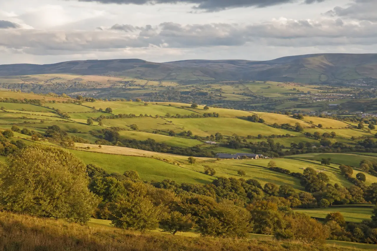
Recorded land transactions in Rhondda Cynon Taf are limited, which points to a thin market rather than a busy one. Agricultural land in the county trades at around £4,500 per acre, in line with typical South Wales valley pricing. The county covers 164 square miles, so plots can vary considerably in character and accessibility depending on whether they sit closer to the valley floors near Pontypridd or on the higher ground above Treorchy and Tonypandy. With relatively few deals changing hands, buyers should not assume comparable sales will be easy to find, making an independent valuation a practical step before negotiating.
Where to find land for sale in Rhondda Cynon Taf
BuyLand doesn't list plots. Land for sale in Rhondda Cynon Taf is mostly marketed through the major portals under their land categories, through regional land and farm agents, and at property auctions, where plots often sell with short completion deadlines.
Wherever you find a plot, the checks matter more than the listing. Flood risk, planning constraints, access and legal title vary field by field, and the asking price tells you none of it.
Local planning authority: view the planning portal → for local plans, constraints and application history.