Flooding Risk: How to Check Land Before Purchase
Complete guide to checking flood risk before buying land in the UK. Learn how to use flood maps, assess risk levels, and protect your investment from flooding damage in 2026.
Flooding Risk: How to Check Land Before Purchase
Flooding poses one of the most significant risks to land buyers in the UK, with climate change increasing the frequency and severity of flood events across England, Wales, Scotland, and Northern Ireland. In 2026, approximately 5.2 million properties in the UK are at risk of flooding, and purchasing land without proper flood risk assessment could leave you with an unsellable or undevelopable plot.
This comprehensive guide explains exactly how to check flood risk before purchasing land, helping you make an informed decision and potentially save thousands of pounds in future mitigation costs or lost investment.
Why Flood Risk Matters When Buying Land
Understanding flood risk isn't just about avoiding immediate water damage — it affects virtually every aspect of land ownership:
Planning Permission: Local planning authorities rarely grant permission for development in high-risk flood zones (Flood Zone 3) without extensive and expensive flood mitigation measures. This can make your land effectively undevelopable.
Insurance Costs: Properties in flood risk areas face dramatically higher insurance premiums, and in some cases, insurers may refuse cover altogether. This impacts both your ability to develop and the future saleability of any property built on the land.
Property Value: Land in flood zones typically sells for 20-30% less than equivalent plots outside flood risk areas. Your land valuation will be significantly affected by flood risk classification.
Mortgage Availability: Lenders are increasingly reluctant to provide mortgages for properties in flood zones, limiting your potential buyers if you develop and sell.
Future Climate Risk: With climate projections showing increased rainfall and more frequent extreme weather events, flood risk assessments now consider future scenarios, not just historical data.
Understanding UK Flood Zones
Before checking specific land, you need to understand how the UK categorises flood risk. The system varies slightly across the four nations:
England and Wales Flood Zones
The Environment Agency uses a three-tier system:
Flood Zone 1 (Low Risk): Land with less than 0.1% (1 in 1,000) annual probability of flooding. This is considered low risk and generally presents no planning obstacles. Most development can proceed normally.
Flood Zone 2 (Medium Risk): Land with between 0.1% and 1% (1 in 100 to 1 in 1,000) annual probability of river flooding, or between 0.1% and 0.5% (1 in 200 to 1 in 1,000) for sea flooding. Development is possible but requires a Flood Risk Assessment for most projects.
Flood Zone 3 (High Risk): Land with a 1% or greater (1 in 100 or higher) annual probability of river flooding, or 0.5% or greater (1 in 200 or higher) for sea flooding. This zone is subdivided:
- Zone 3a: High probability flooding
- Zone 3b: Functional floodplain with a 3.3% or greater (1 in 30 or higher) probability
Development in Flood Zone 3 faces significant restrictions and requires substantial evidence that it's appropriate and safe.
Scotland's Flood Risk System
SEPA (Scottish Environment Protection Agency) uses a slightly different classification with similar risk levels. Flood maps show areas at risk from rivers, coastal flooding, and surface water.
Northern Ireland Approach
DfI Rivers uses flood risk maps showing areas at risk during different flood events (1 in 200 year floods, etc.).
Step-by-Step: How to Check Flood Risk on Land
Step 1: Use Official Government Flood Maps
Your first port of call should always be the official flood mapping services:
For England: Visit the Environment Agency's flood map for planning. Enter the postcode or grid reference of the land you're considering. The map will show:
- Which flood zone the land falls within
- Areas at risk from rivers and the sea
- Flood defences in the area
- Historical flood events
The service is free and provides instant results. You can also order a more detailed Flood Risk Assessment report for £50-150.
For Wales: Use Natural Resources Wales' flood risk mapping service, which provides similar information tailored to Welsh geography.
For Scotland: SEPA's flood maps are available online and show current and projected future flood risk under climate change scenarios.
For Northern Ireland: The DfI Rivers flood maps provide detailed flooding information across the province.
Step 2: Check Surface Water Flooding Risk
River and coastal flooding aren't the only concerns. Surface water flooding (also called pluvial flooding) occurs when heavy rainfall overwhelms drainage systems. This is increasingly common in the UK due to climate change and urbanisation.
The Environment Agency's "Risk of Flooding from Surface Water" map shows areas at risk when drainage systems can't cope. This is particularly important for:
- Land at the bottom of slopes
- Areas with poor drainage
- Previously developed sites with extensive hard surfaces
- Clay-based soils that don't absorb water well
Step 3: Review Historical Flood Records
Official maps show risk based on modelling, but historical records show actual flooding events. Check:
Local Authority Records: Contact the local planning department and request information about past flooding incidents on or near the land.
Environment Agency Historic Flood Map: This shows areas that have flooded in the past, though the absence of recorded flooding doesn't guarantee future safety.
Local Knowledge: Speak with neighbours, local businesses, and community groups. They often know about flooding incidents that weren't officially recorded.
News Archives: Search local newspaper archives for reports of flooding in the area. The British Newspaper Archive is an excellent resource.
Step 4: Obtain a Professional Flood Risk Assessment
For any land in Flood Zone 2 or 3, or if you have any concerns about flooding, commission a professional Flood Risk Assessment (FRA). This costs between £500 and £3,000 depending on the site's complexity.
A proper FRA will:
- Assess all sources of flooding (rivers, sea, surface water, groundwater)
- Model flood risk under current and future climate scenarios
- Identify required mitigation measures
- Provide detailed recommendations for design and construction
- Give you evidence to support a planning application
When buying land that you intend to develop, this investment is worthwhile even if the land appears to be in Flood Zone 1, as it may reveal localised drainage issues.
Step 5: Check Ground Conditions and Drainage
Physical inspection is essential. Visit the land:
Multiple Times: View in different weather conditions, particularly after heavy rain. Signs of waterlogging or standing water indicate drainage problems.
Look for Visual Clues:
- Water marks on boundaries, walls, or trees
- Vegetation types (willows, reeds, and sedges indicate wet ground)
- Ground conditions (soft, boggy areas)
- Existing drainage systems or ditches
- Evidence of erosion
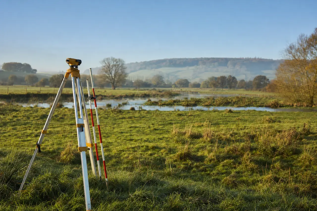
Check Levels: Land topography matters enormously. Even within a flood zone, higher ground may be safe while lower areas flood regularly. Obtain a topographical survey (£300-800) showing ground levels relative to nearby watercourses.
Step 6: Understand Your Responsibilities
Under UK law, riparian owners (those whose land borders a watercourse) have specific responsibilities:
- Maintaining river banks
- Controlling invasive species
- Not obstructing water flow
- Accepting natural flood water (though not water caused by others' modifications)
These responsibilities can involve significant ongoing costs and legal obligations.

What to Do If Land Is in a Flood Zone
Discovering your intended purchase is in a flood zone doesn't necessarily mean you should walk away, but it does require careful consideration:
Renegotiate the Price
Flood risk substantially affects land value. Use the flood zone classification to negotiate a lower purchase price. Properties in Flood Zone 3 typically sell for 20-30% less than equivalent land in Flood Zone 1. Get an updated land valuation that accounts for the flood risk.
Assess Development Viability
If you're planning to develop, consult with a planning consultant before proceeding. They can advise whether:
- Planning permission is likely to be granted
- What mitigation measures would be required
- Estimated costs of flood resilience measures
- Whether the development would still be financially viable
For guidance on the planning process, see our complete guide to planning permission.
Consider Flood Mitigation Measures
Modern engineering can mitigate many flood risks, though at a cost:
Raising Ground Levels: Building up the site with imported material (£20-50 per cubic metre)
Flood Barriers: Installing permanent or demountable barriers (£50-150 per linear metre)
Improved Drainage: Sustainable drainage systems (SuDS), soakaways, and swales (£3,000-15,000)
Building Design: Elevated structures, flood-resistant materials, and safe refuge areas
Natural Flood Management: Creating wetlands, planting trees, or restoring natural floodplains
Investigate Insurance Options
Contact insurance brokers specialising in flood risk properties. The Flood Re scheme, launched in 2016 and extended to 2039, helps make flood insurance affordable for existing homes, though it doesn't cover new builds or commercial properties.
Consider Alternative Uses
Some land uses are appropriate even in high flood zones:
- Agricultural use (grazing)
- Wildlife habitat or nature reserves
- Recreational spaces (though check public liability insurance)
- Renewable energy (solar farms, if not impeding flood flow)
- Vehicle storage (if properly licensed)
These may not be your original intention, but they could provide value from otherwise challenging land.
Regional Variations Across the UK
Flood risk varies considerably by region, affecting both the type of flooding and local planning policies:
South East England: Faces river flooding from Thames tributaries and coastal flooding from storm surges. Property prices in flood zones are particularly depressed due to high baseline values.
Somerset and the Levels: Extensive low-lying areas with significant river and groundwater flooding risk. The 2014 floods demonstrated the vulnerability of this region.
Cumbria and the Lake District: Flash flooding from rivers descending steep valleys. Climate change has increased rainfall intensity in this region significantly.
East Coast (Lincolnshire, Norfolk, Suffolk): Coastal erosion and sea level rise pose long-term risks. Some areas face managed retreat strategies.
Wales: Mountainous terrain creates rapid run-off and flash flooding risks in valleys. Many Welsh communities have experienced severe flooding in recent years.
Scotland: Slower response times from authorities in rural areas mean flood warnings may come later. However, SEPA's flood risk management plans are comprehensive.
Northern Ireland: Lower population density means less development pressure in flood zones, but some areas face significant risk, particularly around Lough Neagh.
When browsing land by location, always check the specific flood risk profile for that county or region.
Legal Considerations and Disclosure Requirements
Under the Consumer Protection from Unfair Trading Regulations 2008, sellers must not mislead buyers about flood risk. However, there's no automatic requirement to volunteer information unless specifically asked.
Always Ask Explicitly: Put questions about flooding in writing:
- Has the land ever flooded?
- What flood zone is it in?
- Are there any flood defences?
- Have there been any insurance claims related to flooding?
Check the Land Registry: The Land Registry records may include information about drainage rights, watercourse boundaries, and flood-related covenants.
Review Planning History: Previous planning applications may reveal flood concerns, Environment Agency objections, or required mitigation measures.
Get Professional Surveys: Ensure your surveyor specifically checks for flood risk and drainage issues. A basic valuation survey won't cover this adequately.
The Impact of Climate Change on Flood Risk
Flood risk assessments now routinely consider climate change projections. By 2050, UK climate models predict:
- 15-20% increase in winter rainfall
- More frequent extreme rainfall events
- Rising sea levels of 30-60cm (depending on location)
- More intense but shorter duration storms
This means land currently in Flood Zone 1 may move into higher risk categories within the life of a building. The Environment Agency now publishes climate change allowances that must be factored into Flood Risk Assessments, with higher allowances required for developments expected to last 100+ years.
When considering land as a long-term investment, factor in future flood risk, not just current classifications.
Frequently Overlooked Flood Risks
Beyond obvious river and coastal flooding, watch for:
Groundwater Flooding: Occurs when the water table rises above ground level. It's slow-onset but can persist for months. Chalk and limestone areas are particularly vulnerable.
Sewer Flooding: Combined sewers (carrying both rainwater and sewage) can overflow during heavy rain. This is both unpleasant and poses health risks.
Reservoir Failure: Though extremely rare in the UK, dam or reservoir failure would cause catastrophic flooding. The Environment Agency maps areas at risk.
Tidal Locking: In coastal areas, high tides can prevent rivers from draining, causing backing up and flooding miles inland.
Modified Land: Previous development, drainage modifications, or flood defence construction elsewhere can alter flood patterns, creating risk where none previously existed.
Making Your Final Decision
After completing your flood risk assessment, weigh the risks against the opportunity:
Walk Away If:
- The land is in Flood Zone 3b (functional floodplain)
- Multiple sources of flooding affect the site
- Your intended use requires planning permission that's unlikely to be granted
- Mitigation costs exceed your budget significantly
- You can't obtain insurance or mortgage finance
Proceed With Caution If:
- The land is in Flood Zone 2 or 3a but mitigation is feasible
- You've negotiated a substantial price reduction
- Your intended use is compatible with flood risk
- You have expert advice confirming viability
- Insurance and finance are available (even if expensive)
Proceed Confidently If:
- The land is in Flood Zone 1
- No historical flooding has occurred
- Surface water risk is low
- Professional surveys confirm no concerns
- Your due diligence has revealed no hidden issues
For comprehensive guidance on the entire land buying process, including risk assessment, read our complete guide to buying land in the UK.
Conclusion: Protect Your Investment With Proper Due Diligence
Flood risk assessment is not optional — it's an essential part of responsible land purchasing in 2026. With climate change increasing flood frequency and severity across the UK, understanding flood risk protects both your immediate investment and your long-term plans.
The process needn't be complicated or expensive for most purchases. Start with free online tools, conduct physical site visits, ask the right questions, and commission professional assessments when appropriate. The cost of proper flood risk due diligence is always less than the cost of buying land you can't use, insure, or sell.
Whether you're buying land for development, agriculture, or investment, flood risk is now a critical consideration that affects value, usability, and future prospects. Make it a central part of your decision-making process.
Ready to Find the Right Land?
Before making any land purchase, get a professional assessment of both market value and risk factors. Get your free land valuation today, or browse land for sale by location to find opportunities in lower-risk areas. Our team can help you identify land that meets your needs while minimising flood risk and other potential issues.